State Line Boat Ramp (GA 31)
Valdosta, Georgia, United States
 No relevant data Fri, Feb 6, 2026 at 12:20am
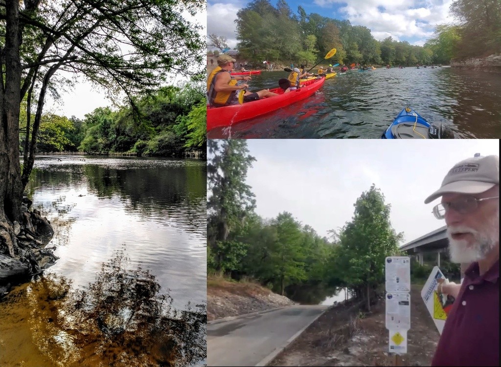
Site of the annual autumn WWALS Boomerang paddle race, from Georgia into Florida and back again.
Just past those old bridge posts and around that bend is the state line, on the blackwater Withlacoochee River.
There's almost always enough water, more than 1.8' or 85.25' NAVD88 on the Quitman (US 84) gauge. Best to avoid above 10.5' or 94' NAVD88.
In between, it's only 5.35 miles to Sullivan Launch, or less than three hours with good water levels.
Concrete boat ramp. PARKING: Free, PICNIC AREA
6461 Madison Hwy, Valdosta, GA 31601.
From Pinetta, Madison County, FL, travel north on CR 145; cross the Withlacoochee River; at the end of the bridge turn left and follow road to ramp in Hamilton County, FL.
From Georgia, take I-75 south to Exit 11. Turn right onto Madison Highway. Go 8.7 miles. Turn right at the boat ramp sign.
Also known as Mozell Spells (local people) or Madison Highway Boat Ramp (VLPRA) or State Line Ramp (GA DNR) or GA 31 Ramp (SRWMD) or CR 145 Bridge Launch (FDEP).
Photos: left, Suzy Hall, others, John S. Quarterman.
http://wwals.net/maps/withlacoochee-river-water-trail/wrwt-map/wrwt-access/#State-Line-Boat-Ramp
The description above was copied from or heavily based on Swim Guide, with permission.
More Information
- Swim Guide - Weather and water quality for State Line Boat Ramp (GA 31) and 8,000 other beaches.