South Lido Beach
Sarasota, Florida, United States
 No relevant data Tue, Jan 27, 2026 at 10:20pm
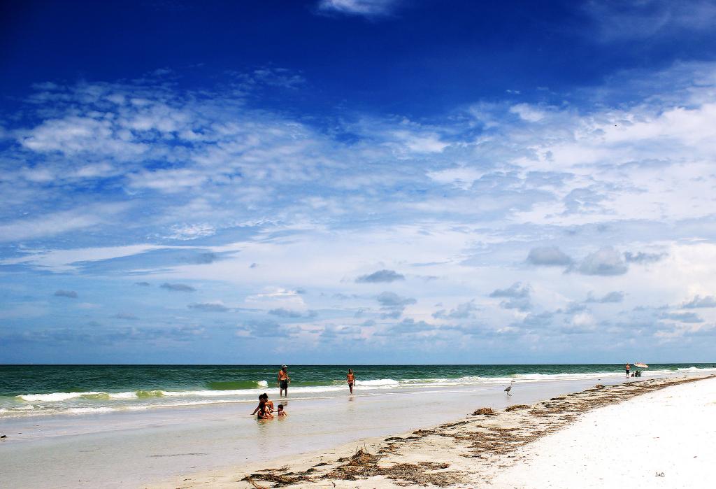
Photo by Yiheng Hao
At the southern tip of Lido Key, Ben Franklin Blvd dead ends into the Ted Sperling Park. This land is part of a series of ever shifting barrier islands. In the early 1900s immegrants settled on the land and aquired it under the Homestead Act. In the 1920s this land was purchased by John Ringling and he planned to develop the land by dredging and filling the islands. In 1926, the great Florida Land Bust brought and end to his development plans but they kept the name "Lido", meaning beach in Italian, that Ringling had given the islands. In the 1960s environmentalists and developers clashed over what to do with the land. Ted Sperling, who was a county comissioner and part of the Save Our Bays movement, apposed the dredging and filling of beaches because of the damage it causes to marine and coastal ecosystems. A few years later, Florida outlawed dredge and fill and the park has been preserved for the public to enjoy.
Park visitors can enjoy the beach as it is the intersection of four major waterways: Gulf of Mexico, Big Pass, Sarasota Bay and Brushy Bayou. The park has birding opportunities, kayaking, and nature trails. Visitors will be able to see a wide array of wildlife and native plants including sea birds, dolphins, manatees, crabs, mangroves, sea grass, and game fish.
The designated swimming area is guarded and restrooms, horse shoe court, picnic areas, playgrounds, and volleyball courts are available to visitors.
The description above was copied from or heavily based on Swim Guide, with permission.
More Information
- Swim Guide - Weather and water quality for South Lido Beach and 8,000 other beaches.