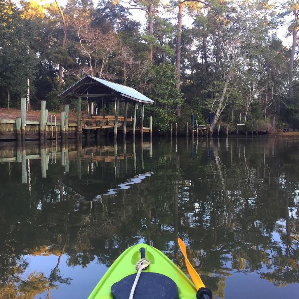
Sea Cliff Drive, Fly Creek
Fairhope, Alabama, United States

Fly Creek is a perennial stream that drains much of Fairhope, portions of unincorporated Baldwin County and a small area in Daphne. The Fly Creek Watershed is slightly more than 5,000 acres and, the main stem of the creek is approximately 5.3 miles long. Swimming and boating take place frequently downstream of the Scenic Highway 98 Bridge and a marina is located at the mouth of the creek. According to the National Land Cover database from 2006, the majority of the watershed is forest (30%) and cropland (24%), with pasture (18%) and wetlands/water (13%) making up much of the rest of the watershed. As the population of Fairhope increases, developed area (14% in 2006) is increasing rapidly.
Fly Creek has been a subject of persistent interest for Mobile Baykeeper up to and following a 2018 report conducted by the organization that was commissioned by the City of Fairhope. The conclusions of that report were that overall, Fly Creek exhibits relatively good water quality with exception to a few sites with bacteria levels surpassing Environmental Protection Agency (EPA) threshold standards. Given these findings, Mobile Baykeeper provided suggestions to the City of Fairhope whereupon improvements could be made to increase and/or maintain water quality along Fly Creek.
The Mobile Bay National Estuary Program is currently developing an Eastern Shore Waterhshed Management Plan that will include the Fly Creek watershed. More info - https://www.mobilebaynep.com/watersheds/eastern-shore
Mobile Baykeeper Fly Creek Water Quality Study - https://bit.ly/FlyCreekReport
Fly Creek Watershed Preservation Association Site - http://flycreekwpa.org/
*Access via boat or kayak is available at Fly Creek Marina.
The description above was copied from or heavily based on Swim Guide, with permission.
More Information
- Swim Guide - Weather and water quality for Sea Cliff Drive, Fly Creek and 8,000 other beaches.

