Pilarcitos Creek
Half Moon Bay, California, United States
 Passed tests Thu, Aug 14, 2025 at 10:11am
 11.1°C / 52°F (air) Tue, May 5, 2026 at 1:45am
 10.1 - 13.5km/h NNW 334° Tue, May 5, 2026 at 1:45am
 Mist Tue, May 5, 2026 at 1:45am
 0mm Tue, May 5, 2026 at 1:45am
 9.7km Tue, May 5, 2026 at 1:45am
 100% Tue, May 5, 2026 at 1:45am

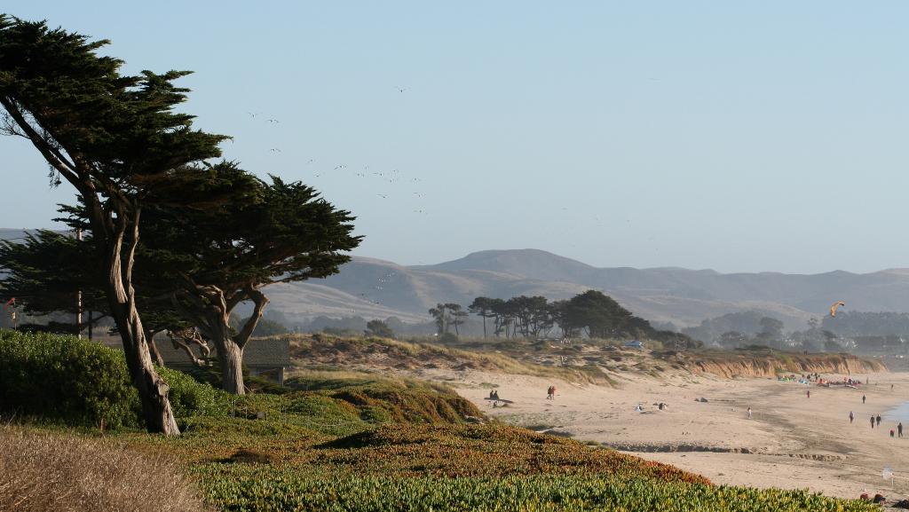
Photo by Sharon Mollerus
With the original name of Arroyo de los Pilarcitos, meaning "creek of the little pillars" in Spanish, modern day Pilarcitos Creek is an important creek North of Half Moon Bay in San Mateo County, California. Stretching 13.5 miles, Pilarcitos flows from the western slopes of the Santa Cruz Mountains through the Pilarcitos Canyon into the ocean at Half Moon Bay State Beach. Pilarcitos Creek is used for drinking water, agriculture, and recreation by central coast and San Francisco Bay residents. In 1992, two separate pollution discharge events occurred in the Pilarcitos watershed, negatively impacting water quality and natural habitats as a result. Since then, significant community and governmental efforts have gone towards monitoring, restoring, and maintaining the health of Pilarcitos Creek and watershed. The mouth of Pilarcitos Creek can be difficult to find. It is accessed by trail from an unused state beach parking lot at the end of Wave Avenue. The location of the creek mouth shifts dramatically over the course of the year so it is best to try and locate it from the bluff at the top of the beach when you arrive. There are no restrooms at this location.
The description above was copied from or heavily based on Swim Guide, with permission.
More Information
- Swim Guide - Weather and water quality for Pilarcitos Creek and 8,000 other beaches.