Payette River at Kiwanis Park
Payette, Idaho, United States
 Mixed past results Fri, Sep 5, 2025 at 8:20pm
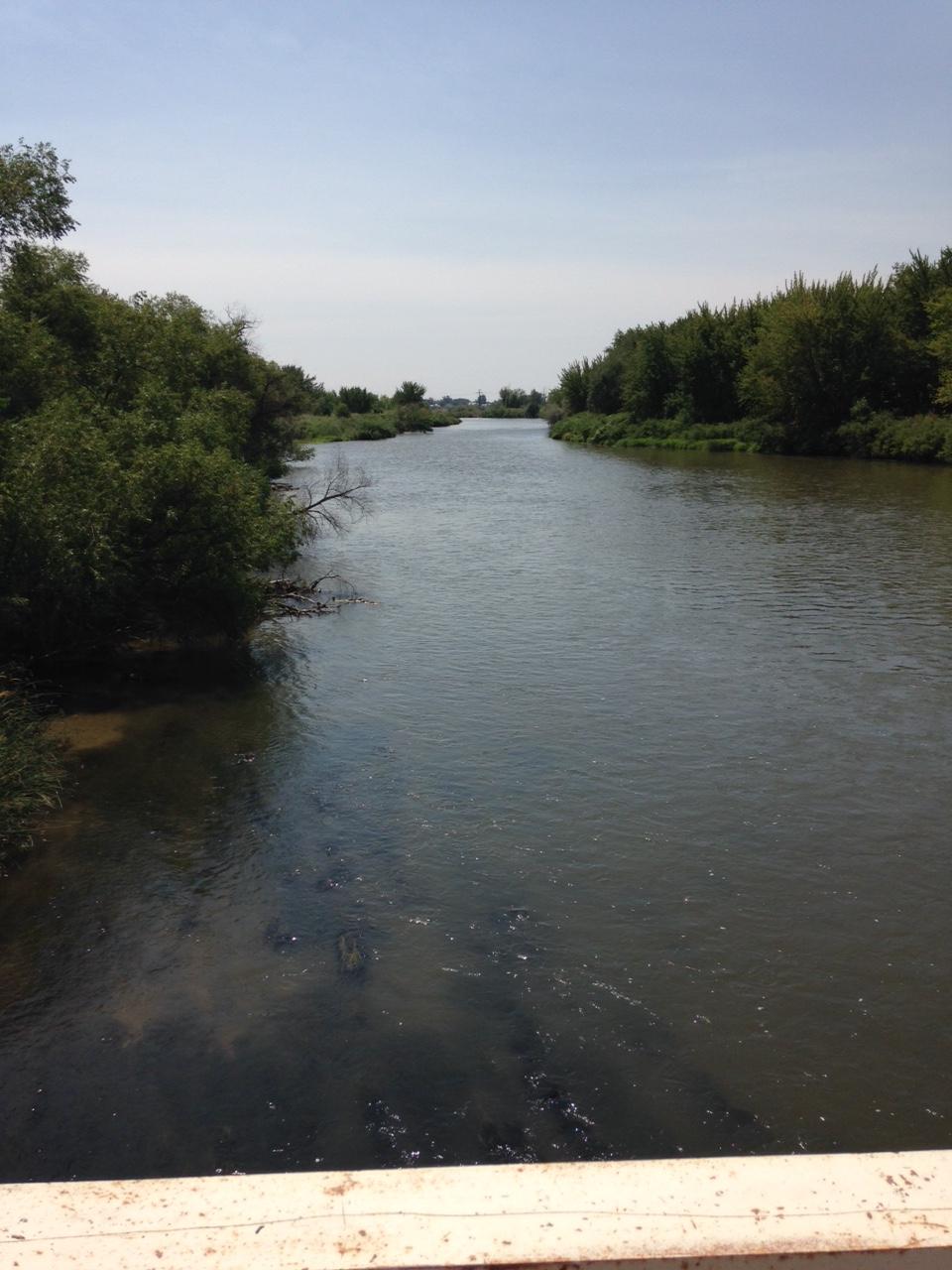
Payette River at Kiwanis Park: The Payette River is an 82.7-mile-long (133.1 km) river in southwestern Idaho and is a major tributary of the Snake River. Its headwaters originate in the Sawtooth and Salmon River Mountains at elevations over 10,000 feet (3,000 m). Drainage in the watershed flows primarily from east to west, with the cumulative stream length to the head of the North Fork Payette River being 180 miles (290 km), while to the head of the South Fork the cumulative length is nearly 163 miles (262 km). The combined Payette River flows into an agricultural valley and empties into the Snake River near the city of Payette at an elevation of 2,125 feet (648 m). The Payette River's drainage basin comprises about 3,240 square miles (8,400 km2). It is a physiographic section of the Columbia Plateau province, which in turn is part of the larger Intermontane Plateaus physiographic division. The South Fork of the Payette has its headwaters in the Sawtooth Wilderness, which is part of the Sawtooth National Recreation Area.
Facilities: Parking is available at various locations within 2 miles. A public restroom is at 6.6 miles while Sinclair gas station is at 0.6 miles.
The description above was copied from or heavily based on Swim Guide, with permission.
More Information
- Swim Guide - Weather and water quality for Payette River at Kiwanis Park and 8,000 other beaches.