Marie Curtis Park East Beach
Toronto, Ontario, Canada
 PASS 41mpn Mon, Sep 1, 2025
 Passed tests Mon, Sep 1, 2025
 16°C / 60.8°F (water) Mon, Sep 1, 2025
 26.3°C / 79.3°F (air) Fri, May 29, 2026 at 5:00pm
 25.9 - 37.3km/h WNW 295° Fri, May 29, 2026 at 5:00pm
 Sunny Fri, May 29, 2026 at 5:00pm
 0mm Fri, May 29, 2026 at 5:00pm
 14km Fri, May 29, 2026 at 5:00pm
 28% Fri, May 29, 2026 at 5:00pm
 0.8NTU Mon, Sep 1, 2025
 None Mon, Sep 8, 2025

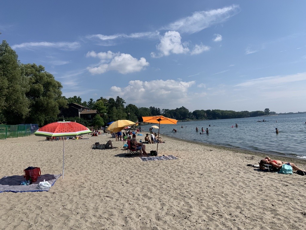
Photo by Jerry Schulman
Marie Curtis Park East Beach is located on the east bank of the Etobicoke Creek where the water flows out to meet Lake Ontario. The park was once part of a community called Long Branch. Hurricane Hazel struck in 1954, destroying forty homes and claiming six lives on the beach. In order to ensure that this never happened again, the remaining houses were moved away from the shore. The area was designated parkland. The Municipality of Metropolitan Toronto erected a plaque in the southwest corner of the park to commemorate Marie Curtis, the woman from Long Branch who worked tirelessly to have the park built. Children love the park playground, and there is ample space and greenery for everyone to use and appreciate. Marie Curtis Park Beach is a beautiful place to enjoy the sun and quiet near Toronto.
Marie Curtis Park East Beach is one of two pilot and assessment locations for the City of Toronto’s Artificial Intelligence Predictive Modeling (AIPM) of bacterial levels. For predictive modeling results, visit the Water Quality for Toronto Beaches page. Open Water Data and Swim Guide will continue to indicate the current water quality status based on laboratory verified e.coli counts and the current Toronto recreational water quality guideline until the AIPM assessment is complete and/or guidelines have been updated.
The description above was copied from or heavily based on Swim Guide, with permission.
Features
- Site is inland
- The beach is sandy
- Swimming
- Playground
- Monitored Water Quality
More Information
- Swim Guide - Weather and water quality for Marie Curtis Park East Beach and 8,000 other beaches.
- Google Maps