Malheur River
Ontario, Oregon, United States
 Historically fails tests Sun, Jul 20, 2025 at 9:20pm
THIS SITE KNOWN TO CONTAIN DANGEROUS LEVELS OF SEDIMENT AND NITRATE. DO NOT SWIM OR EXPOSE CHILDREN TO WATER UNLESS FLAGGED GREEN.
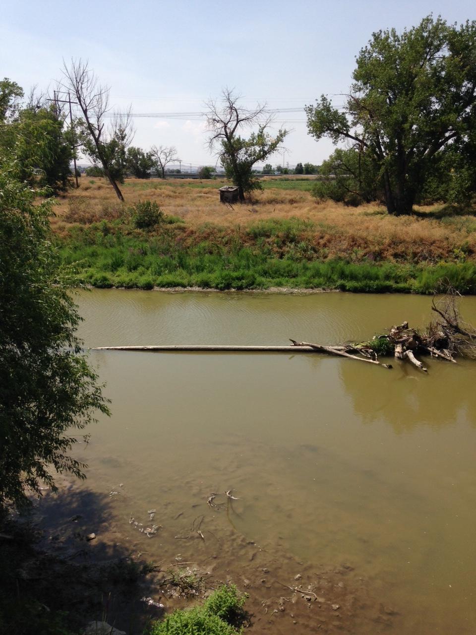
The Malheur River (local pronunciation: "MAL-hyure") is a 190-mile-long (306 km) tributary of the Snake River in eastern Oregon in the United States. It drains a high desert area, between the Harney Basin and the Blue Mountains and the Snake. Despite the similarity of name, the river does not flow into nearby Malheur Lake, which is located in the enclosed Harney Basin southwest of the watershed of the river. When water levels were higher, Malheur Lake would drain into the Malheur River.
The lower Malheur River is used for irrigation in the agricultural potato-growing in the Snake River Plain along the Idaho-Oregon border. There are approximately 370 miles (600 km) of irrigation-related canals and ditches in the lower basin of the Malheur River and its tributary Willow Creek. The streamflow of the Malheur and its tributaries is heavily influenced by a complex system of irrigation diversions, siphons, and canals, which begin near Malheur river mile 65, near Namorf and Harper, Oregon. This irrigation system extends downstream to the mouth of the Malheur in Ontario, Oregon.
Facilities: Westerner Trail Park and Vale Trails RV Park is 4.5 miles away from the marked location, Restrooms can be found at nearby gas station Sinclair which is 4.8 miles from the location.
The description above was copied from or heavily based on Swim Guide, with permission.
More Information
- Swim Guide - Weather and water quality for Malheur River and 8,000 other beaches.