Madison Boat Ramp (River Park Road)
Lee, Florida, United States
 No relevant data Fri, Feb 6, 2026 at 12:20am
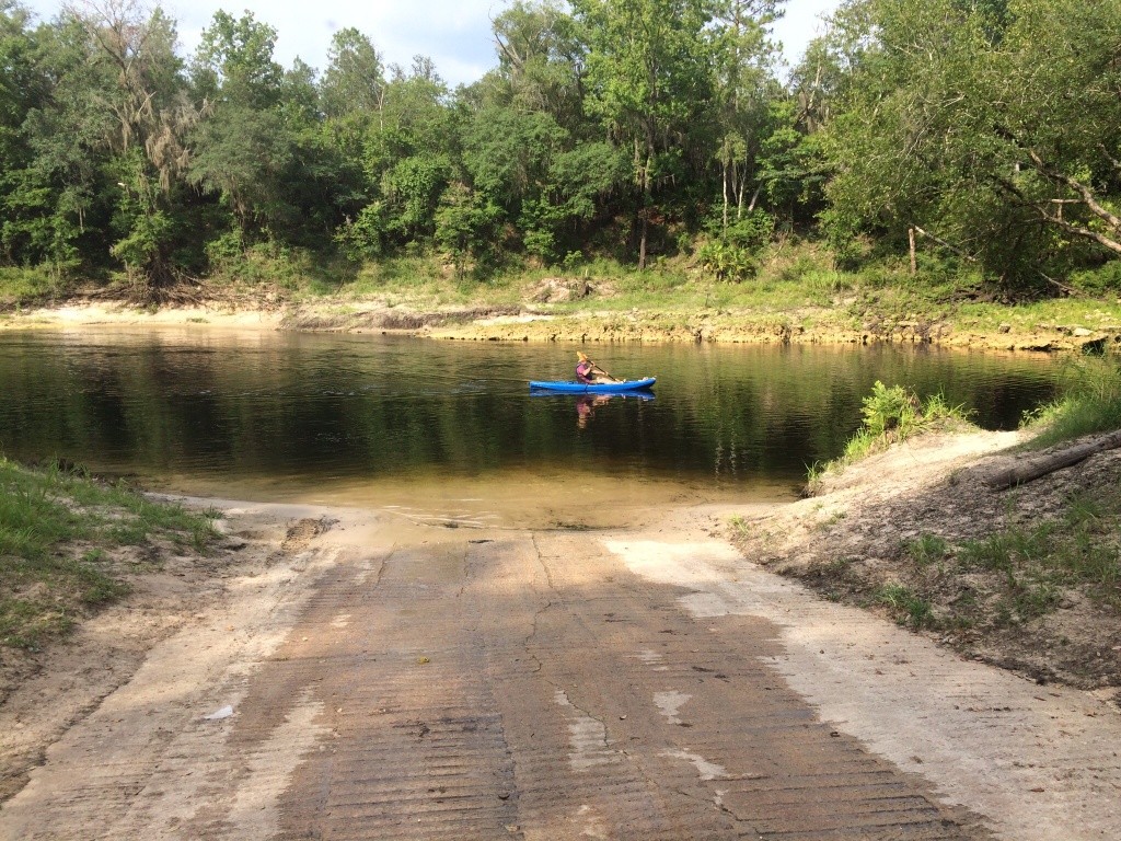
Madison Boat Ramp is a nice concrete ramp, and a much better kayak or canoe takeout than the stairs at Madison Blue Spring Launch,
Lowest boatable 40.1? (0.1?), Highest safe 50? (10.0?), Gauge Madison USGS 02319300.
From the city of Madison in Madison County, FL, travel east on SR 6 to Old Blue Springs Road; turn right, travel east to NE Ivy Drive; turn left and travel east to NE Juniper Drive; turn right and follow to NE River Park Road; turn left and travel east; cross over NE Timber River Loop and into county park. Also known as Withlacoochee Ramp (SRWMD).
Photo by Chris Mericle.
http://wwals.net/maps/withlacoochee-river-water-trail/wrwt-map/wrwt-access/#Madison-Boat-Ramp
The description above was copied from or heavily based on Swim Guide, with permission.
More Information
- Swim Guide - Weather and water quality for Madison Boat Ramp (River Park Road) and 8,000 other beaches.