Knights Ferry Boat Ramp
Valdosta, Georgia, United States
 No relevant data Fri, Feb 6, 2026 at 12:20am
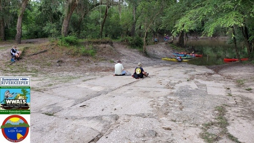
At the end of a dirt road in the woods, this bucolic boat ramp is a great place to put in for a 6.65-mile paddle downstream on the subtropical blackwater Withlacoochee River, past cypress knees, tupelo trees, and wild azaleas in the spring.
Alligators are not often seen here, but turtles are common.
You might see a great blue heron.
Paddle time will vary from about 3.5 hours if the water level is good, to dragging the boat if it's too low (2.0' or 85.5' NAVD88), to very fast if it's high (highest safe 10.5' or 94' NAVD88), or on the Quitman USGS gauge at US 84.
If the parking lot is flooded, come back another day.
Ramp: Concrete boat ramp in 2 acre park , PARKING: Free, PICNIC AREA
Photo: John S. Quarterman, 2019-06-16, during PaddleGA2019.
http://wwals.net/maps/withlacoochee-river-water-trail/wrwt-map/wrwt-access/#Knights-Ferry-Boat-Ramp
The description above was copied from or heavily based on Swim Guide, with permission.
More Information
- Swim Guide - Weather and water quality for Knights Ferry Boat Ramp and 8,000 other beaches.