Gorge Waterway - Lower
Victoria, British Columbia, Canada
 FAIL 20mpn (single) Sun, Apr 7, 2024 at 8:50pm
 10.7°C / 51.3°F (air) Sat, May 23, 2026 at 1:30am
 14.4 - 30.2km/h W 260° Sat, May 23, 2026 at 1:30am
 Clear Sat, May 23, 2026 at 1:30am
 0mm Sat, May 23, 2026 at 1:30am
 10km Sat, May 23, 2026 at 1:30am
 90% Sat, May 23, 2026 at 1:30am

The Gorge Waterway (or simply “the Gorge”) is a narrow, six-kilometer long stretch of water that connects Upper Victoria Harbour to Portage Inlet. The waterway is a tidal estuary that includes intertidal mud flats, oysters and abundant eelgrass. It is also part of a migratory bird sanctuary and supports salmon and herring. Freshwater flows into Portage Inlet from Craigflower and Colquitz Creeks, both of which are important salmon streams. By the 1940s, historical pollution from sewage and industrial sources had significantly degraded the water quality in the Gorge. Clean-up efforts since the early 1990s have resulted in a notable improvement in water quality and an increased awareness of this important waterway. The Gorge is once again a popular spot for various recreational activities including kayaking, canoeing, rowing, dragon boating, paddle boarding and even swimming. While there are still some industrial activities along the Gorge, most of the waterway is lined with residential properties. There are several access points to the Gorge, including the Gorge Waterway Park and the Galloping Goose Regional Trail at the Selkirk Trestle.
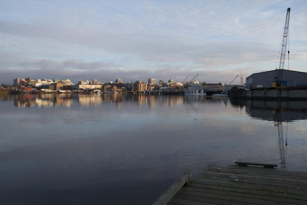
The Lower Gorge (Upper Victoria Harbour) sampling location is at a small wharf just off the Galloping Goose Regional Trail, near the north end of Harbour Road.
The description above was copied from or heavily based on Swim Guide, with permission.
Features
- Kayaking
- Rowing
- Standup paddleboarding (SUP)
- Swimming
- Monitored Water Quality
More Information
- Swim Guide - Weather and water quality for Gorge Waterway - Lower and 8,000 other beaches.
- Surfrider Foundation Blue Water Task Force - Water quality test results for Gorge Waterway - Lower.
- Surfrider Foundation Vancouver Island - Chapter responsible for monitoring Gorge Waterway - Lower.