Bowker Creek
Victoria, British Columbia, Canada
 FAIL 836mpn (single) Mon, Sep 28, 2015 at 8:30pm
 FAIL 173mpn (single) Sun, Mar 21, 2021 at 5:45pm
 4.6°C / 40.3°F (air) Sun, Dec 4, 2022 at 8:15pm
 41 - 15.8km/h WNW 300° Sun, Dec 4, 2022 at 8:15pm
 Clear Sun, Dec 4, 2022 at 8:15pm
 0mm Sun, Dec 4, 2022 at 8:15pm
 10km Sun, Dec 4, 2022 at 8:15pm
 67% Sun, Dec 4, 2022 at 8:15pm

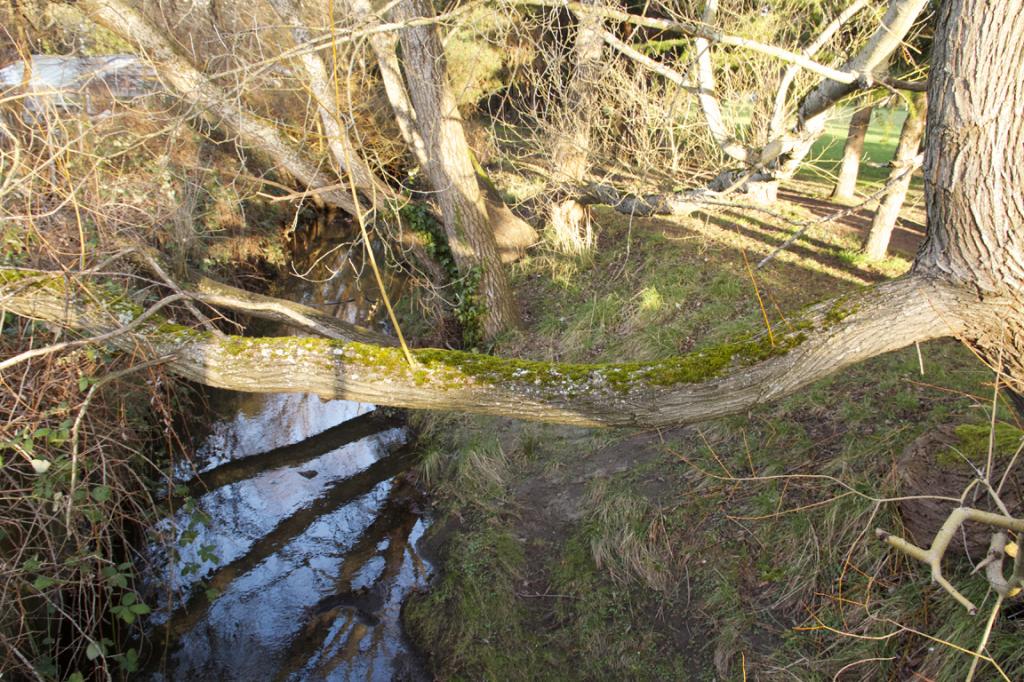
Bowker Creek is an approximately 8 kilometers long freshwater creek with headwaters at a wetland at the University of Victoria campus. From there, the creek flows roughly southwards, through a system of underground channels and above ground sections, eventually discharging to the ocean near Glenlyon-Norfolk school in the district of Oak Bay. Urbanization of the Bowker Creek Watershed over the past 200 years has resulted in significant changes to the creek, including degraded water quality and the underground channelling of approximately 70% of the creek. Today, the creek is the subject of community and regional restoration efforts, as well as various environmental education initiatives. The Bowker Creek Walkway is located in Oak Bay, along one of the creek’s few remaining open sections, between the end of Armstrong Street and Monterey Avenue. This greenspace includes benches, picnic tables and a walkway along the creek.
The sampling location at Bowker Creek is at an open section of the creek off Haultain Street, near Dean Avenue.
The description above was copied from or heavily based on Swim Guide, with permission.
Features
- Monitored Water Quality
More Information
- Swim Guide - Weather and water quality for Bowker Creek and 8,000 other beaches.