Bayou St. John
New Orleans, Louisiana, United States
 Mixed past results Tue, May 19, 2026 at 8:20pm
 25.6°C / 78.1°F (air) Tue, May 19, 2026 at 3:15am
 13.3 - 21.1km/h SE 136° Tue, May 19, 2026 at 3:15am
 Partly Cloudy Tue, May 19, 2026 at 3:15am
 0mm Tue, May 19, 2026 at 3:15am
 16km Tue, May 19, 2026 at 3:15am
 87% Tue, May 19, 2026 at 3:15am

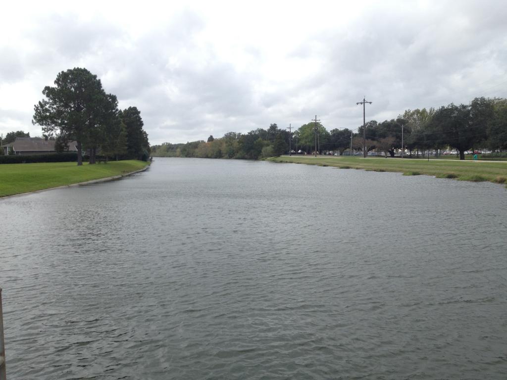
Bayou St. John was once a four-mile-long natural waterway navigable by canoe and small vessel. Originating some two miles northwest of the Mississippi River, the bayou flowed through cypress swamps to Lake Pontchartrain, training the swampy land of what is now New Orleans. A trail along the bayou was first created by Native Americans, who, in 1699, showed the route to New Orleans founders Bienville and Iberville. The natives knew the waterway as Bayouk Choupic. It then served as navigation from Lake Pontchartrain to the French Quarter when the area was a French territory. Since then, the Bayou has become a picturesque body of water with small earthen levees on either side, forming a narrow park space in the city.
Today the water way is commonly enjoyed by kayakers and utilized for aesthetics and recreation. Bayou St. John offers the opportunity to canoe or kayak the calm water of a scenic waterway and enjoy the scenery right inside the city of New Orleans. The paddling is easy, and this could be a fun little trip for families with kids. If you aren't much of a kayaker, the park is great to lay out near the water and catch some sun, with plenty of amenities nearby in the Midcity and Bayou St. John neighborhoods of New Orleans. It's a beautiful, integral part of New Orleans and worth a visit to see the stunning water wind it's way through the city!
The description above was copied from or heavily based on Swim Guide, with permission.
Features
- Kayaking
- Canoeing
- Walking Trails
More Information
- Swim Guide - Weather and water quality for Bayou St. John and 8,000 other beaches.